Map Credit: http://digital.library.mcgill.ca/countyatlas/SearchMapframes.php
GWEN Frontenac Volunteers
| Name | Callsign | Location | Lat/Long | Elev | Radio | Amp | Antenna | Power | |
|---|---|---|---|---|---|---|---|---|---|
| David (NCS) |
va3orp | @kos.net | Inverary | 0 0 |
m | no info | yes | Home Brew | Gen |
Locate the Distance between GWEN Stations.
www.nhc.noaa.gov/gccalc.shtml or www.earthtools.org or www.qrz.com
Range and Direction Between GWEN Frontenac Stations
| Location | Sydenham Firehall |
Parrot Bay |
Brewers Mills Firehall |
Perth Road Vilage |
Ivy Lea | Hay Bay | Sharbot Lake |
|---|---|---|---|---|---|---|---|
| Sydenham Firehall |
Range Direction |
22 Km | 25 Km | 12 Km | 47 KM | 51 Km | 42 Km |
| Parrot Bay |
Range Direction |
39 Km | 32 Km | ||||
| Brewers Mills Firehall |
Range Direction |
18 Km | |||||
| Perth Road Vilage |
Range Direction |
||||||
| Ivy Lea | Range Direction |
89 Km | 70 Km | ||||
| Hay Bay | Range Direction |
84 Km | |||||
| Sharbot Lake |
Range Direction |
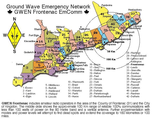
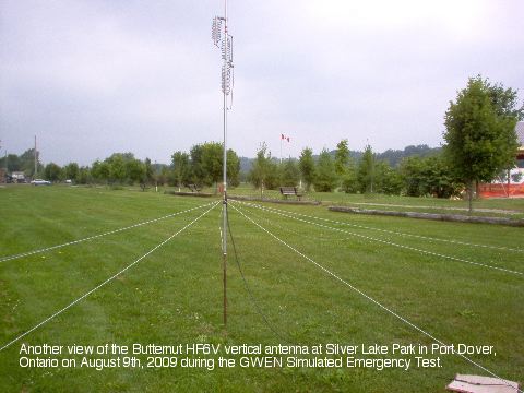
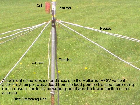
If you live in the Kingston - Frontenac area and have 80 metre capabilities with a vertical antenna or a multi band vertical antenna with radials on the ground, we can use your help to map Ground Wave propagation in Southern Ontario from Windsor - Sarnia to Ottawa - Kingston.
Contact David, va3orp @ kos.net for more information.

 Ground Wave Emergency Network - EmComm